

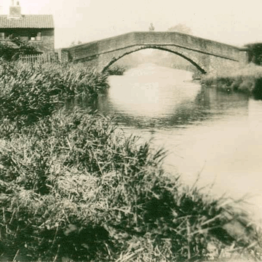
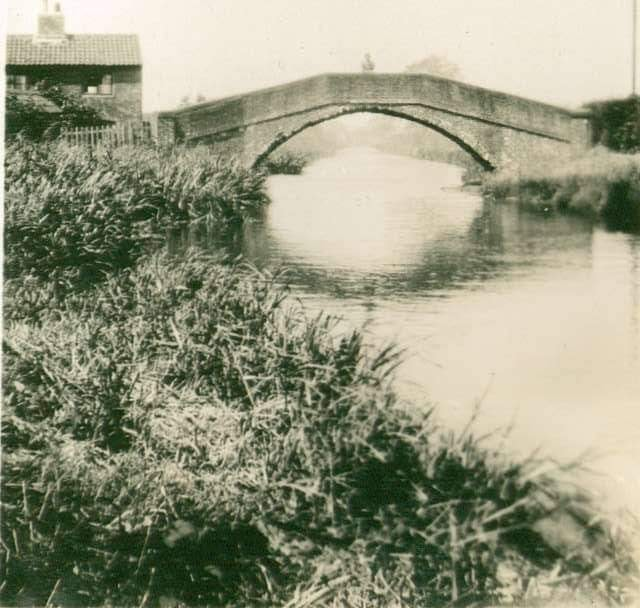
Narrow Bridge Cottages were on the bend in the road to Trent Lock, between the road and the footbridge over the Erewash […]
Sawley was originally known as Salloe. In the Domesday book it was spelled ‘Salle’. A ‘Salh’ or ‘sealh’ was the Old English […]
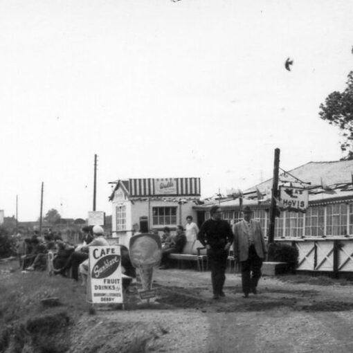
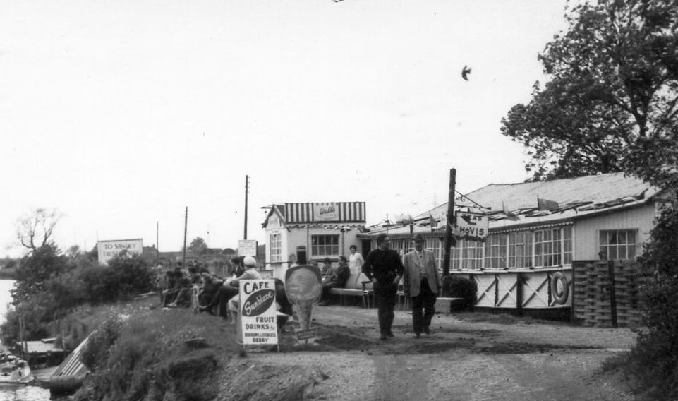
For many years the wooden Riverside Café stood at Trent Lock, at the end of the footpath that runs from the back […]
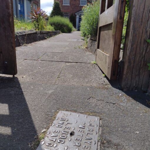
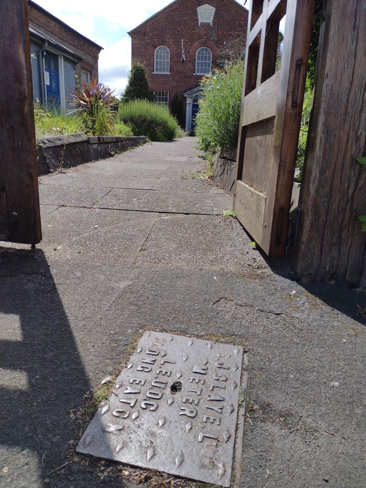
A reader has spotted several drain and meter covers in Sawley manufactured by S J Claye Ltd of Long Eaton. Samuel John […]