Sawley, apart from the area on higher ground around the parish church, has always suffered from periodic flooding, when the River Trent burst its banks.
William Smith (born 1854) died in January 1947, two months before the worst flood in 200 years. But he remembered several disastrous floods; one in the 1850s when 30 sheep were drowned, and 1875 when people who had pigs put them in Towles Close for safety.
In the 20th century Sawley was flooded in 1932, 1946 and 1947.
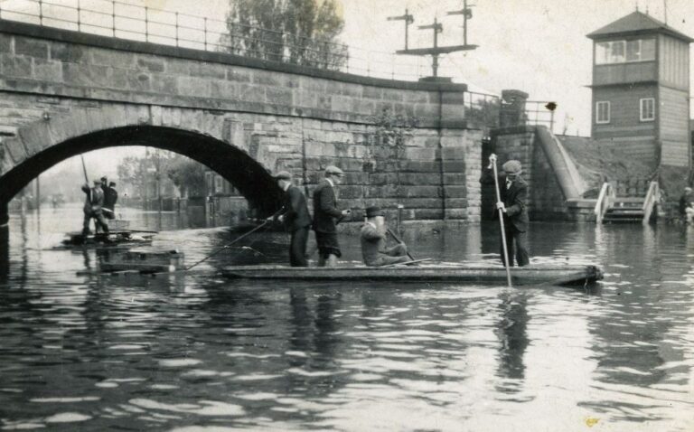
Originally the Erewash Canal had flood gates at Trent Lock but these perished and were not replaced.
Hey Street, May 1932
In May 1932 Tamworth Road was flooded from Old Sawley to the canal bridge. The roads near the railway bridge in New Sawley were badly affected – Mikado Road, Roosevelt Avenue and Hey Street. Only the low lying parts of Old Sawley were seriously affected – Cross Street, Wilne Road and Plant Lane. It must have been quite scary at Trent Lock, surrounded by fast moving water, watching it rising 2 to 3 inches per hour, with relatively little high ground and no easy way out.
Torrential rainstorms after heavy snow led to the Trent flooding in Feb 1946. Emergency deliveries of food, coal and medical supplies had to be provided by the local authorities who were severely criticised for the inadequate warnings and for the lack of flood protection. The floods were described in a Long Eaton girl’s letters to her penpal in America.
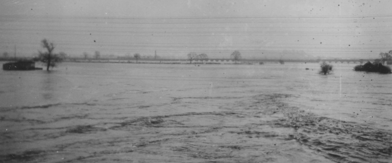
Feb 1946 – The Trent from Harrington Bridge
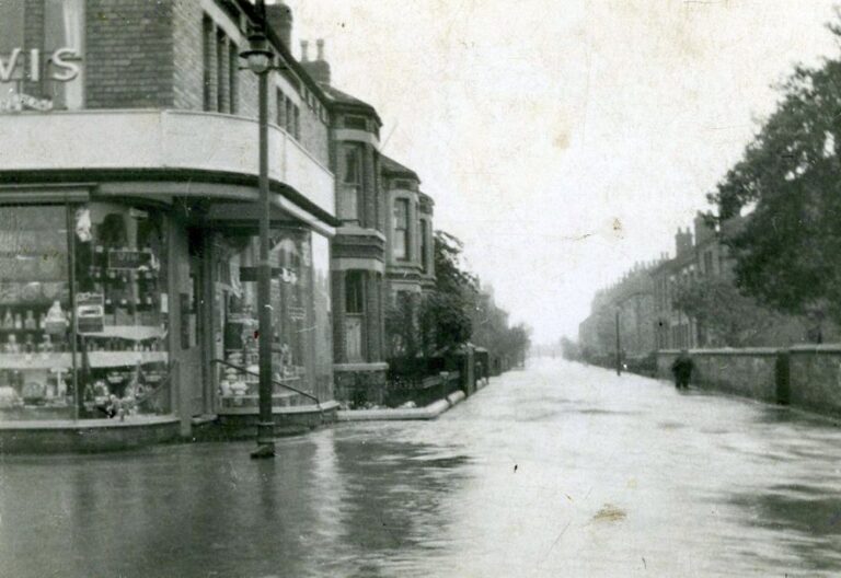
Feb 1946 – Tamworth Road from corner of Shaftesbury Ave. Bell Hotel in the distance. The white paint on the pole on the left is a remnant of the wartime blackout.
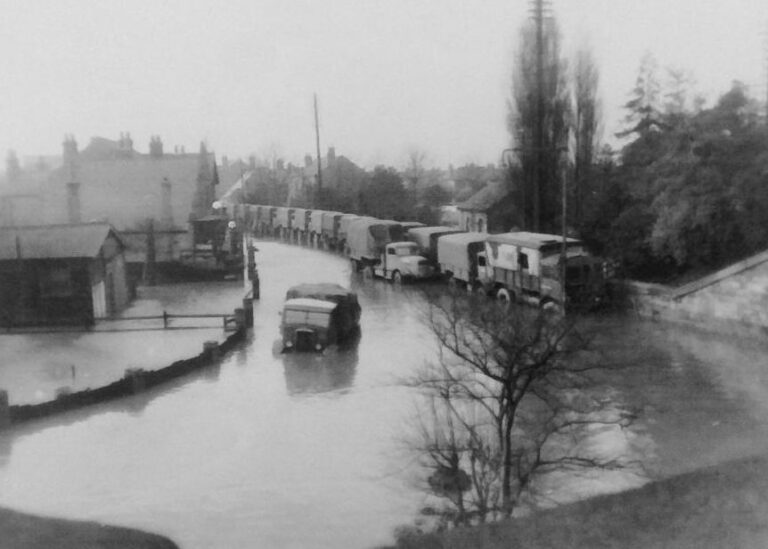
Army convoy stuck on the Sawley side of the railway bridge, 1946
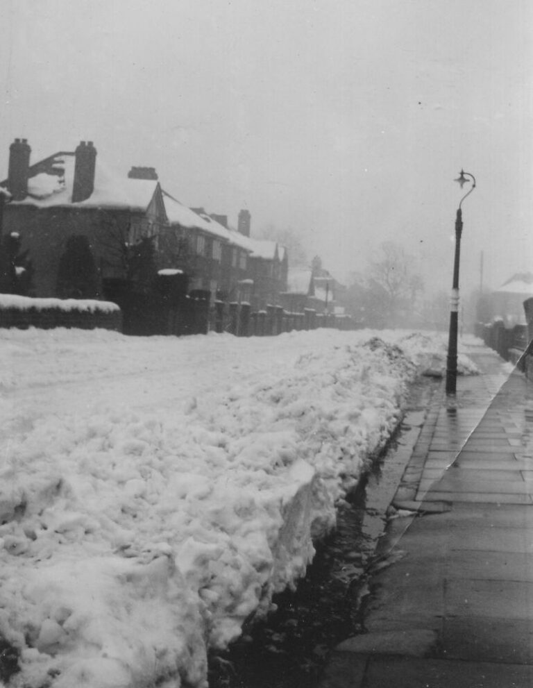
In the ‘Big Freeze’ of 1947 the whole of Britain virtually ground to a halt. Snow fell almost continually from late January to early March. For 13 days in February the temperature never rose above freezing point. Thirty degrees of frost in the Trent Valley was recorded on 24th February. Supplies of coal – which most homes relied on for heating – began to run out and there was a run on candles as electricity supplies were cut. Food became scarce and families, still subject to some wartime rationing, were asked to economise further. Thousands of farm animals were lost.
In mid-March temperatures began to rise and heavy snow turned to very heavy and persistent rain. The rain and melted snow filled the rivers and many parts of the country were flooded, especially the Trent around Nottingham.
Shaftesbury Avenue, early 1947
Much of Old Sawley, parts of Long Eaton and nearly all of New Sawley was affected, including around 2,000 homes. The water began to cover Lock Lane in the early morning of Tuesday 18th March and didn’t start going down until early Thursday morning. At one point the water under the railway bridge at Sawley Junction was over 6ft deep.
In Hey Street the water was about 3ft deep, but flowing so fast that boats couldn’t be used and supplies had to be brought in on an Army DUKW from Chilwell Ordnance Depot.
Tom Godfrey’s memories of that winter and the Sawley floods are in this blog page.
The 18th century Cavendish Bridge, between Sawley Crossroads and Shardlow, collapsed in the flood. It was replaced by a bailey bridge provided by the Royal Engineers until the current bridge opened in 1957.
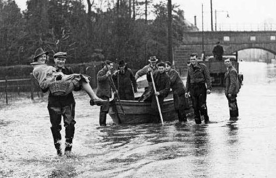
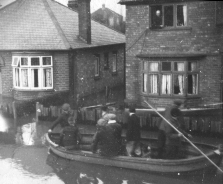
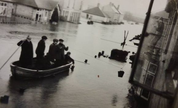
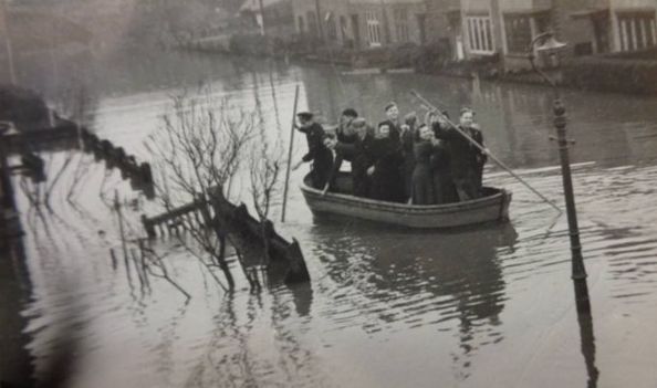
Possibly some of the ex RAF punts obtained by Long Eaton Council after the 1946 flood
Boats delivering bread, coal and people in Roosevelt and Shaftesbury Avenues, Feb 1947. The bread probably from Humphreys Bakery on the corner of Draycott and Grosvenor Roads. They sent a boat round with bread for its regular customers. Later they returned in an army lorry and delivered to other people.
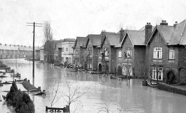
1947 Floods - Reedman Road
After the 1947 floods (and a threatened residents’ rate strike) new flood banks were built, joining up the railway embankments. These were completed by mid November 1947.
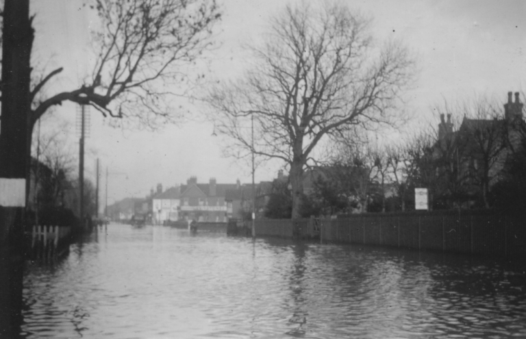
Wensleydale Road 1977
There has been no general flood since the floodbanks were completed, although the river level has been close to the top of the flood banks several times. However, in late February 1977, 60 homes were flooded in the Wensleydale Road area of New Sawley.